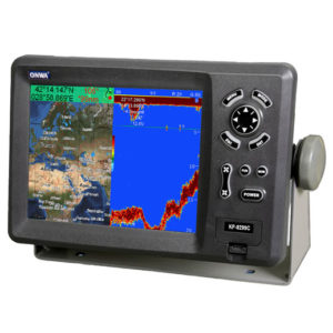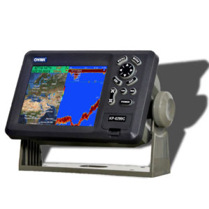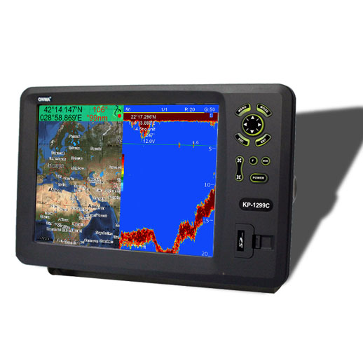
12.1″ Color LCD GPS C-Map MAX compatible plotter/Fishfinder Combo
1. High Resolution: 12.1 inches Color TFT Display,640×480 pixels
2. 8 Color or 8 Level Amber Presentation
3. 50/200 kHz Transceivers,Output Power: 600 Watts
4. Blue, Light Blue, or Black Background Color
5. 8 Range Scales, from 0-15 to 0-1000 Feet
6. Range Offset to 1000 Feet, Maximum Offset Range of 2000 Feet
7. Automatic Range and Gain Selection Mode
8. A-Scope Display for Rapid Fish ID and Detection
9. Multiple Display Modes:
• Single or Dual Frequency
• Bottom Zoom
• Bottom Lock Expansion
• Marker Zoom
• Navigation Data Screen
• A-Scope
10. Digital Displays of Speed, Depth, Water Temperature*, and Position
11. Adjustable Bottom or Fish Alarm
12. Calibration in Feet, Fathoms or Meters
13. Built-in Picture Simulator
14. SD-cards slot for C-Map MAX and user data
15. C-Map MAX and K-Chart Selectable
16. Tide table
17. Versatile display mode include
• Plotter Screen
• Plotter+Sounder
• Sounder
• Nav.Data
• Satellite Information
• AIS Display
• Compass Screen
18. GOTO track navigation
19. MAP orientation select
20. Proximity waypoints alarms
21. Perspective View
22. MAP Palette
• Normal
• Daylight – exposed to sunlight
• Night – in dark environment
• NOAA – paper chart colors
*Water Temperature data input required